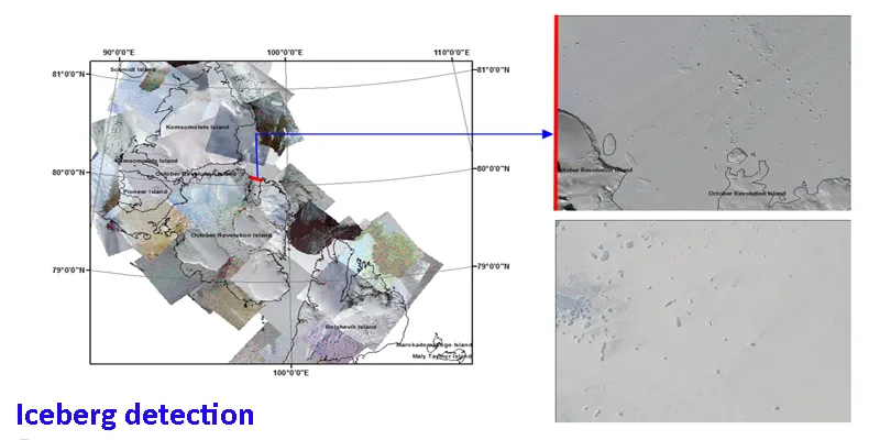
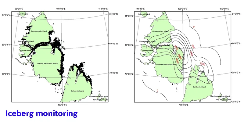
The objective of the MAIRES project is to develop methodologies for satellite monitoring of Arctic glaciers, sea ice and icebergs. Methodologies to retrieve quantitative information from the ESA and RKA data will be developed, and examples of satellite derived products for each of the three thematic areas will be presented. The main satellite data will be Synthetic Aperture Radar (SAR), optical and infrared images, radar altimeter data, passive microwave data and geoid data from GOCE.